

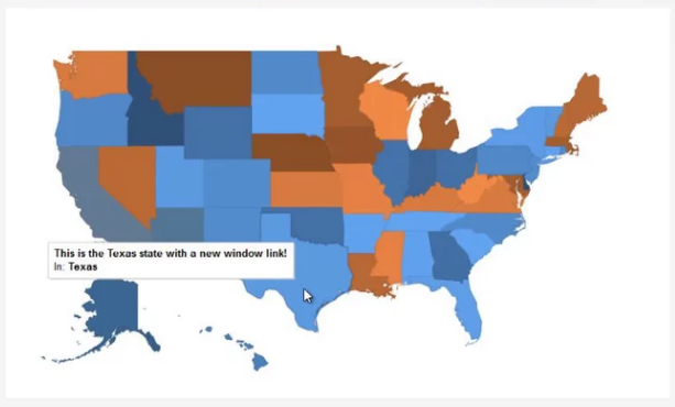
Linky Map 2.7.2 is a Joomla component for creating interactive vector maps with colored regions, markers and location descriptions. It uses map data from Google GeoChart and can display the world, continents, countries and regional maps without requiring editors to build the SVG or map code manually. Administrators can change region colors, add links and markers, and place maps in Joomla content or module positions.
Maps can be created around regions or individual markers. Region maps are useful when countries or administrative areas need their own colors and values, while marker maps can highlight cities, addresses and other specific locations.
Each location can include additional content such as a title, description, tooltip or link. The extension provides an editor for this information, so map details can be managed from Joomla instead of being hard-coded into the page.
Display settings cover map dimensions, colors, borders and zoom behavior. Maps can be responsive or use a fixed size, and they can be inserted through a Joomla menu item, module or content editor button.
Linky Map also supports geolocation and automatic geocoding for addresses. This makes it suitable for regional statistics, service areas, contact pages and other Joomla projects where locations need to be presented as interactive vector maps.
Info: https://www.joomunited.com/products/linky-map
Download links
Register and subscribe


